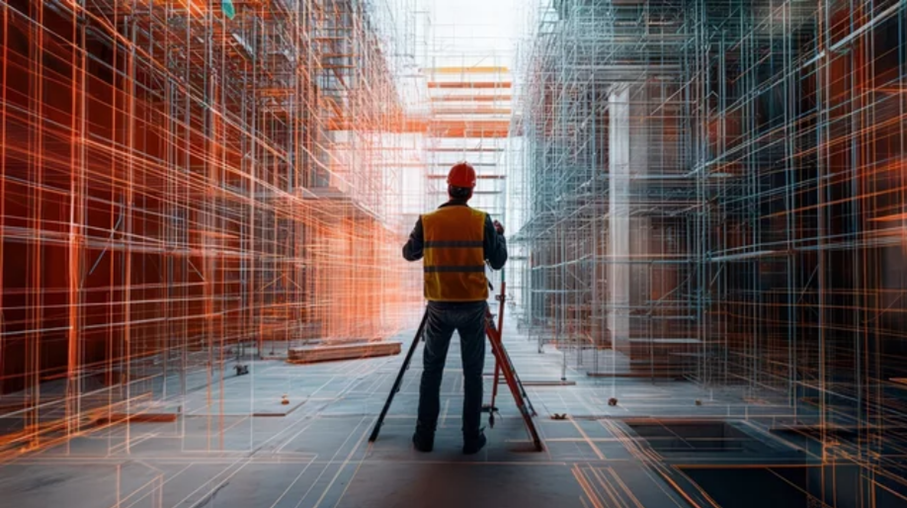
Before, during, and after your construction projects, our surveyors lay out, survey,
and check.
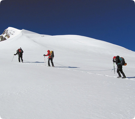
They map the existing situation and provide their technical expertise at every step.


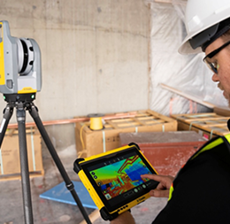
We carry out precise surveys of existing land and structure, and represent them in the form of 3D plans or point clouds.
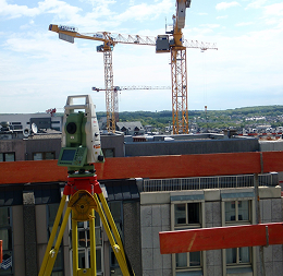
We carry out measurement and control operations throughout a construction project to ensure that
the works comply with the plans and the planned tolerances.
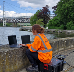
We take continuous and remote measurements to detect movements or deformations
in real-time.

We collect accurate data to allow analysis and monitoring for all infrastructures' types.
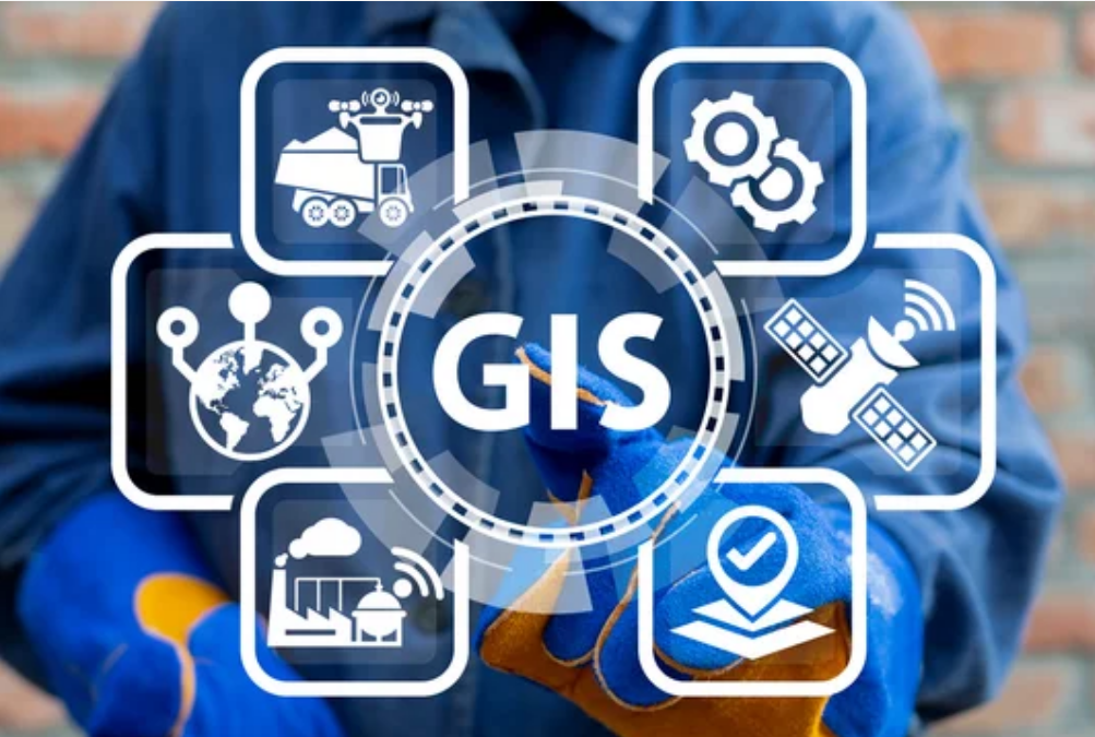
We produce digital maps that are interactive and incorporate geographical data to enhance the management of the environment.

We measure, delimit, and secure real estate with precision and in compliance with the law.
We provide precise, customised solutions based on our expertise: site surveys, surface area calculations, technical advice.